Getting to Santa Barbara
![[WIP]](AtWork.gif) Under Construction
Under Construction
Location of Santa Barbara
Santa Barbara is located about 90 miles North West of Los Angeles and 330
miles South of San Francisco. It is served by frequent nonstop flights
from
Los Angeles,
San Francisco,
San Jose,
and
Denver.
It is also served by AMTRAK rail service.
These maps show the location of Santa Barbara, as well as the
nearby cities, and roads through California:
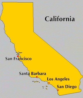
- Map of California, with major cities;
(Simple; GIF, 29 Kb).
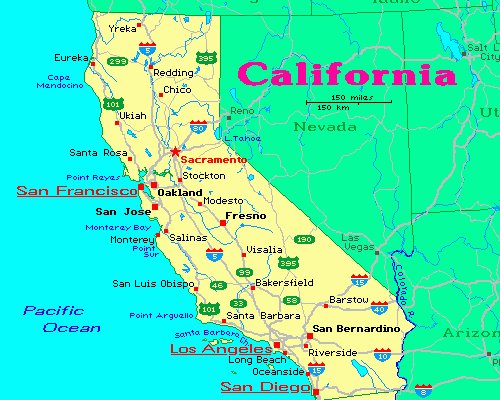
- Map of California, with many cities and roads;
(GIF, 19 Kb, from here).
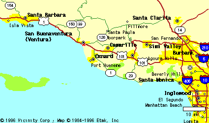
- Map of area from Los Angeles to Santa Barbara;
(GIF, 7.9 Kb; LAX is close to Inglewood; map
from here).
- California around Santa Barbara (Detailed;
PDF, 339 Kb, from here).
- California around Los Angeles (Detailed;
PDF, 241 Kb, from here).
- California around San Francisco (Detailed;
PDF, 299 Kb, from here).
- Large California Map. (Detailed;
PDF, 969 Kb, from here).
- Old map of the Western U.S..
(JPEG, 274 Kb, from here).
A local map of the Santa Barbara area, showing UCSB, the airport, and
suggested hotels, is here ; a postscript
version is here.
Flying to Santa Barbara
Santa Barbara Airport
is adjacent to the University and is served by the following airlines
The Santa Barbara Airbus, (805) 964-7759, provides several daily bus trips
from the Los Angeles International Airport, about 2.5 hours away from
Santa Barbara. Reservations are strongly recommended.
Personal Vehicle
UCSB is easily accessible from US 101, as can be seen from the
local map.
From the South, take the
UCSB/Highway 217 exit and ask for direction at the University gate.
From the North, take the Storke Road/UCSB exit and drive South (toward
the ocean) to a "T" junction with El Colegio Road. Turn left, and
ask for directions at the University gate. Parking at UCSB is by permit only.
Should you be relying on your own automobile for transportation to and
from campus, please indicate so on the registration form; for a charge
of $10 you will receive a parking permit, valid for the duration of the
conference, with your registration material. Note that transportation
between the UCSB campus and nearby
hotels will be provided.
Train
The regular
train from Los Angeles (San Diegan)
stops in Santa
Barbara; a few trips per day are available.
The
train route just north of Santa Barbara, on the Coast Starlight, passes by
exceptionally beautiful coastal scenery.
![[HOMEPAGE] border=](Rarrow02.gif) Return to Symposium's homepage
Return to Symposium's homepage